c

Geographic Information Systems (GIS)

We’ve developed a series of bespoke Geographic Information Systems (GIS) solutions that are playing a crucial role in how we deliver projects, helping us to work more collaboratively, productively and safely.

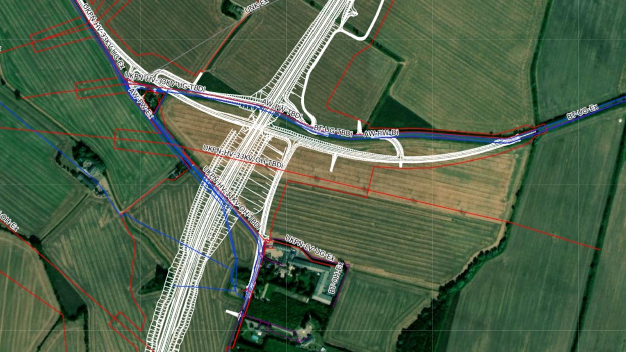
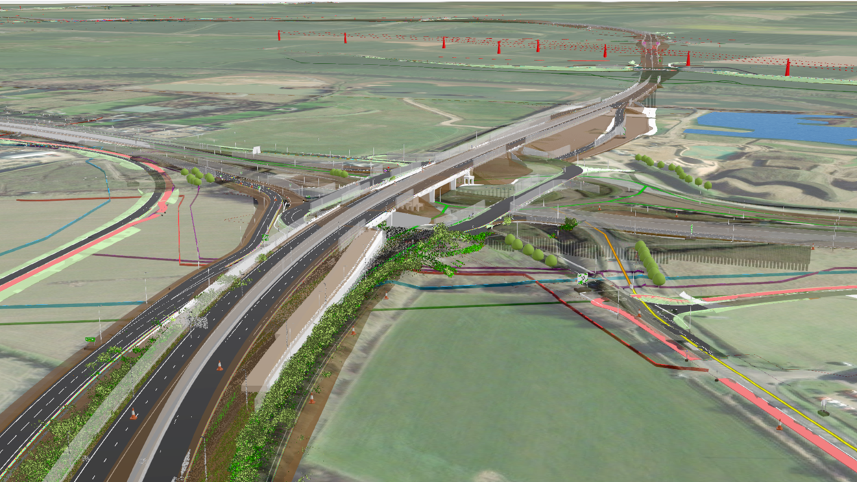
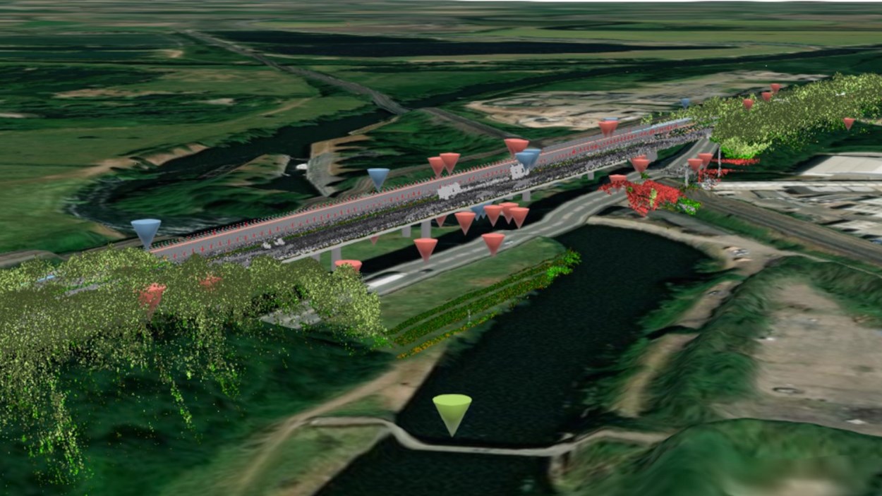
Our technical experts have created GIS solutions that are transforming how we deliver projects in the highways, rail, water and energy sectors. They are connecting our teams, supply chain partners and customers in a digital platform, helping us to work more collaboratively and make more informed decisions based on shared and trusted data.

The GIS team at Skanska focuses on connecting data, disciplines and people with location-based project information. This enables teams to work from a single digital source, with easy access to all project information.

GIS ensures that risks and opportunities are identified, efficiency is improved and projects are delivered on time and budget.

2D web-based GIS portal that enables access to location-based project data in one single location.

Learn more about Skanska Maps

Integrates GIS and planning software to create geospatial construction sequencing visualisations.

Learn more about Skanska GeoPlan

3D portal that integrates GIS with BIM (Building Information Modelling), creating a digital twin of the project.

Learn more about Skanska GeoBIM

Construction Design Management (CDM) hazards solution that integrates design and location-based hazards.

Learn more about Skanska GeoBIM for CDM
Last updated: 27/05/2025