
What is it?
Skanska GeoPlan associates the ‘what and when’ in a construction programme with the ‘where’ in GIS to create a visualisation of construction phasing, allowing the programme to be easily understood. As a planning tool, it allows the construction sequence to be developed and shared within Skanska Maps. Planning and construction teams can collaborate using geospatial information to ensure sound decision-making, with early development reviews reducing risk and improving efficiency.
As a web-based solution, Skanska GeoPlan requires no additional software purchase and can be used with minimal training.
What does it do?
Construction programmes in Ghantt charts lack geospatial information and often require manually produced phasing diagrams. Skanska GeoPlan allows teams to quickly understand spatial and logistics challenges to develop a programme that can be confidently delivered, easily understood and challenged by non-planners. Skanska GeoPlan integrates existing GIS and planning tools in an innovative way to empower cross-disciplinary collaboration.
How have we used it on projects?
Skanska GeoPlan has been used extensively on our highways projects.
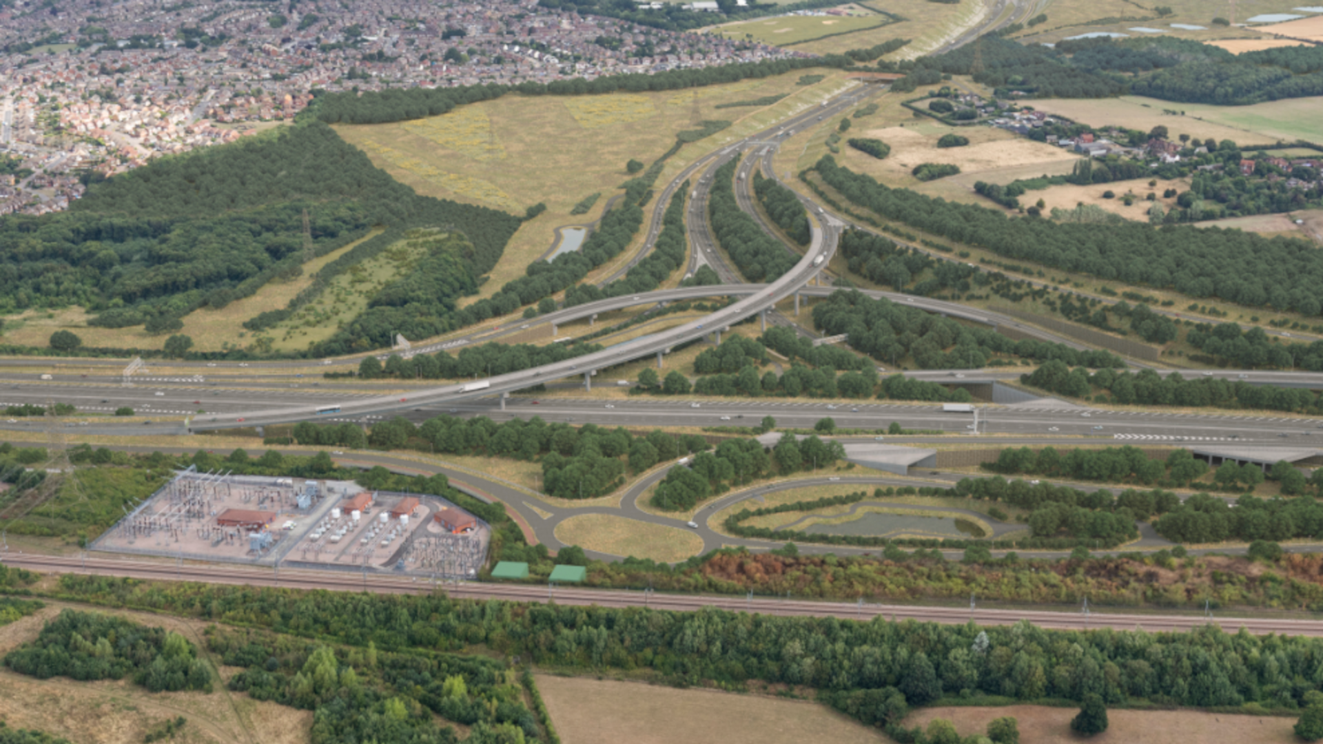
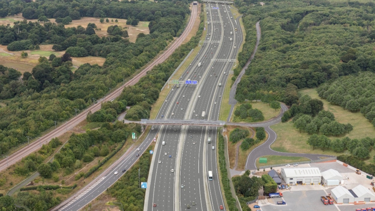
On the Lower Thames Crossing, where we’re delivering the Kent Roads section, it’s been used to improve programme transparency for our project and supply chain teams, allowing them to scrutinise and interrogate the methodology together, saving money, time and resources. This includes in supporting new starters in getting up to speed on project methodology, where it’s led to significant time savings and improved understanding.
On two upcoming highways schemes, our planning and construction teams are developing the programme collaboratively using Skanska GeoPlan to easily view constraints and logistics considerations, before main construction starts. Having this visibility reduces risk, promotes programme engagement and ultimately improves how we deliver projects.
What are the benefits to our customers?
- Zero-cost
Skanska GeoPlan is a zero-cost digital rehearsal tool that we use as standard across all of our infrastructure projects, including in rail, highways, water and energy. - Transparency of information
Visually communicating construction sequences to all stakeholders represents a significant leap forward in programme management. It allows everyone to understand spatial and logistics challenges more effectively and is excellent for highlighting project sequencing complexities and interdependencies. - Easy understanding of complex data
Geo-visualisation capabilities embedded seamlessly into our processes allow easy interpretation of complex datasets, transforming them into intuitive representations which are accessible to a range of audiences irrespective of technical expertise.