What is it?
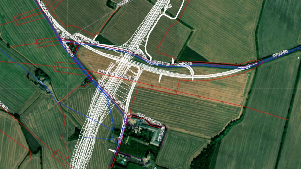
Skanska’s 2D GIS portal is a data catalogue service that ensures easy access to relevant project data. The portal can consume multiple different file formats in one location and be used without the need to download specialist software. Providing location-based visual data supports better decision-making, reduces risks and safety hazards and drives delivery to time and budget.
What does it do?
Skanska Maps facilitates collaboration and enables teams to view all project information in one place. It’s an easy-to-use web platform where users can view and manage various aspects of a construction project. Using Skanska Maps allows us to work safely by having visibility of all constraints on a project, facilitating our teams to make better decisions based on reliable, trusted data.
How have we used it on our projects?
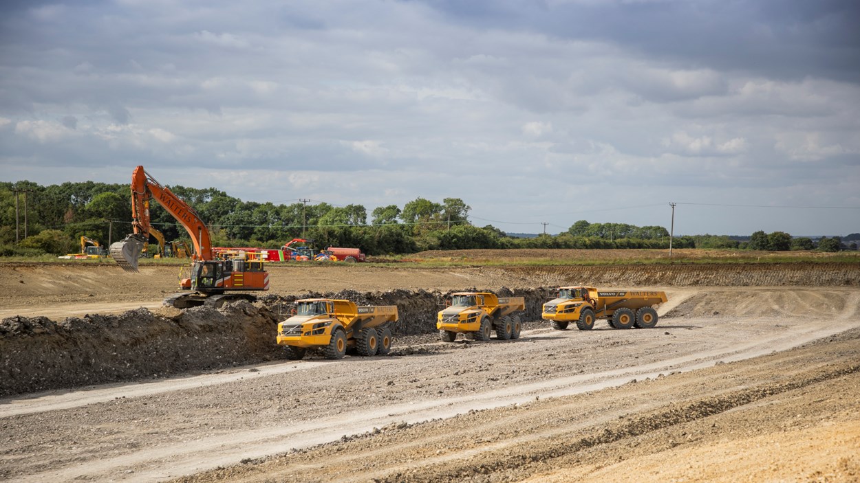
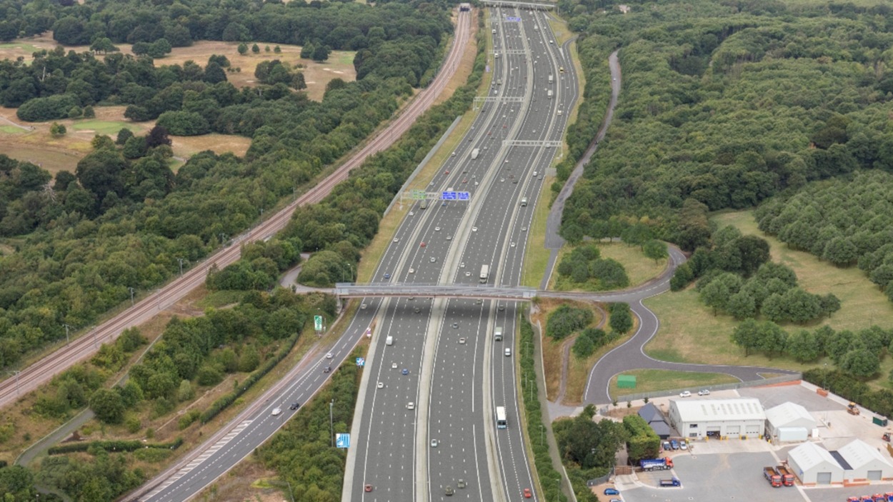
We’ve used Skanska Maps on our highways and rail projects.